People involved

Xiaofei Chen
Dynamics of subsurface flow

Alexander Eder
Erosion and sediment transport processes

Patrick Hogan
Spatial analysis of catchment evapo-transpiration

Lorenc Pavlin
Preferential flow processes in the subsurface

Isabelle Pfeil
Multi-scale agricultural drought monitoring

Rasmiditya Silasari
Hetrogeneity and scaling of runoff processes

Philipp Stadler
Determination of contaminant pathways and transport processes

Borbála Széles
Linking hydrological process patterns

Rui Tong
Hydrodynamic modelling

Mariette Vreugdenhil
Spatial and temporal variability in soil moisture from active microwave observations
Selected publications
Blöschl, G., Blaschke, A. P., Broer, M., Bucher, C., Carr, G., Chen, X., Eder, A., Exner-Kittridge, M., Farnleitner, A., Flores-Orozco, A., Haas, P., Hogan, P., Kazemi Amiri, A., Oismüller, M., Parajka, J., Silasari, R., Stadler, P., Strauss, P., Vreugdenhil, M., Wagner, W., and Zessner, M. (2016). The Hydrological Open Air Laboratory (HOAL) in Petzenkirchen: a hypothesis-driven observatory, Hydrol. Earth Syst. Sci., 20, 227-255, doi:10.5194/hess-20-227-2016.
Exner-Kittridge, M., Strauss, P., Blöschl, G., Eder, A., Saracevic, E. and Zessner, M. (2016). The seasonal dynamics of the stream sources and input flow paths of water and nitrogen of an Austrian headwater agricultural catchment. Science of The Total Environment, 542, Part A, 935-945, doi:10.1016/j.scitotenv.2015.10.151.
Research supervisors
Support staff
Collaborators
Prof. Alfred Paul Blaschke, Vienna University of Technology, Austria
Prof. Thomas Foken, University of Bayreuth, Germany
Prof. Brian McGlynn, Duke University, USA
Dr. Ranvir Singh, Massey University, New Zealand
Dr. Christian Stamm, EAWAG, Switzerland
Dr. Peter Strauss, Institute for Land and Water Management Research (IKT), Federal Agency of Water Management (BAW), Austria
More information
Research › Hydrological Open Air Laboratory (HOAL)
One of the best ways to learn about water resource systems is to study them in action. Fieldwork in our Hydrological Open Air Laboratory (HOAL) gives students the opportunity to learn by doing.

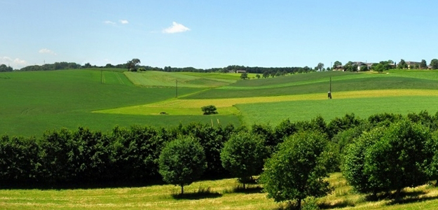
The Petzenkirchen HOAL is located 100 km west of Vienna. The 66 ha catchment is dominated by agricultural land use and well equipped with numerous climatological, hydrological and water quality measuring devices for monitoring with high spatial and temporal resolution. The catchment is special in that many runoff generation processes (surface runoff, spring runoff, tile drainage, runoff from wetlands) can be observed simultaneously.
Water flow and pathways
A very wide variety of research takes place in the HOAL. Several research students are examining runoff and flood processes. They are exploring what happens to a drop of rain, from the moment it lands in the catchment until the time it leaves, either as runoff in the stream, or evaporation. Hydrology and meteorology students are using advanced measurement and modelling techniques to examine water movement in minute detail. Martine Broer studies runoff mechanisms and the effect of transpiration on runoff by analysing daily runoff fluctuation at many locations within the catchment. The analyses show that riparian zone transpiration has a significant impact on stream flow and that the speed of the runoff response to transpiration is surprisingly fast.
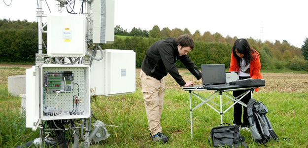
Advanced equipment for measuring evaporation at many locations has recently been added to the sophisticated weather station in the catchment. It is being used by Patrick Hogan to understand the spatial pattern of evaporation within the catchment and its impact on soil moisture and runoff generation (see Land-surface processes). Abbas Kazami Amiri is using data and equipment from the HOAL to explore how wind load can be measured by observing the response of the weather station to the wind at different vibration frequencies (see Modelling).

Research students are using a variety of approaches to explore the flow movement essential for understanding and predicting flooding in larger catchments. Rasmiaditya Silasari is performing distributed hydrological simulations in order to understand the effect of surface and subsurface heterogeneity on flow paths and runoff. Mariette Vreugdenhil is combining remote sensing methods of soil moisture, coupled with numerous soil moisture sensors in the catchment to gain vital information on water movement through the surface and shallow subsurface (see Land-surface processes).
The dense measurement network throughout the stream is critical for catching real time fluctuations in flow in response to precipitation. Data is recorded every minute and the numerous data loggers located throughout the catchment are connected via fiberoptic cables to the main data server, from where they become immediately available via any internet connection.
Nutrient dynamics
Some students are looking at the pathways and fate of fertilisers applied to the field. During rainfall events parts of these additions often move to water bodies where they can damage ecosystem health. Michael Exner-Kittridge is measuring runoff and water quality at several locations within the catchment at a much higher temporal resolution than is typically done. This allowed him to study the flow path dynamics of nitrogen within large rainfall events.
Analysis showed that at the start of an event the dominant pathway is surface flow with low nitrate concentrations. This is followed by fast sub-surface flow with high nitrate concentration that passes through drainage systems and other preferential flow pathways. In a similar way, Philipp Stadler is examining the pathways of microbial indicators in the catchment by online monitoring of microbial activity and complementary sampling (see Water and health).
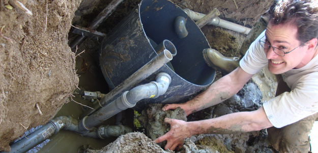
This research involve chemistry work to understand sorption and desorption in the soil, soil physics to explore water and solute movement through the soil, hydrology to identify where erosion and deposition take place in the catchment, and remote sensing to aid understanding of the role of soil moisture and water movement.

Field experiments
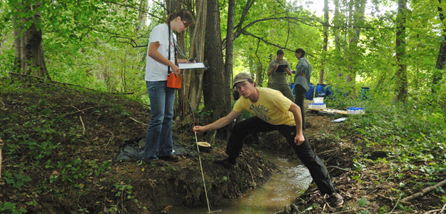
Experiments are able to take advantage of the advanced data collection infrastructure. In 2011, Alexander Eder, and other students of the Vienna Doctoral Programme ran a flooding experiment where they simulated a storm event. A large volume of water was pumped into the source of the stream and real time data on fluctuations in flow rates, sediment and solute concentrations were collected.
The researchers were surprised to find that a significant portion of flood water infiltrates into the river banks and becomes stored as groundwater. Additionally, fine sediments in the stream were shown to become resuspended and washed out of the catchment. This has important implications for understanding what happens to water, sediment and solutes during flood events.

